Earth (ESD) Earth and Climate Explore Climate Change Science in Action Multimedia Data More For Researchers 4 min read
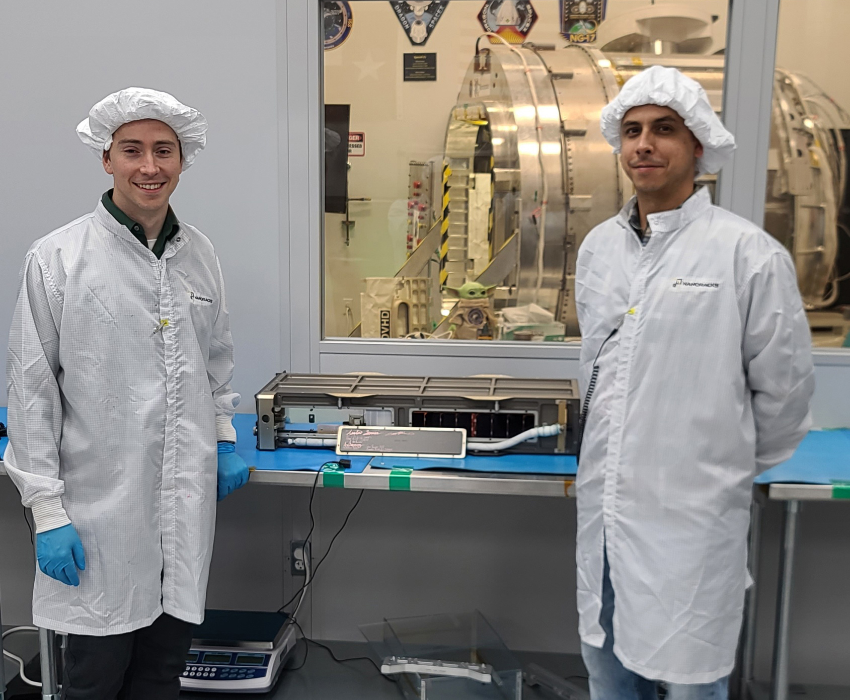
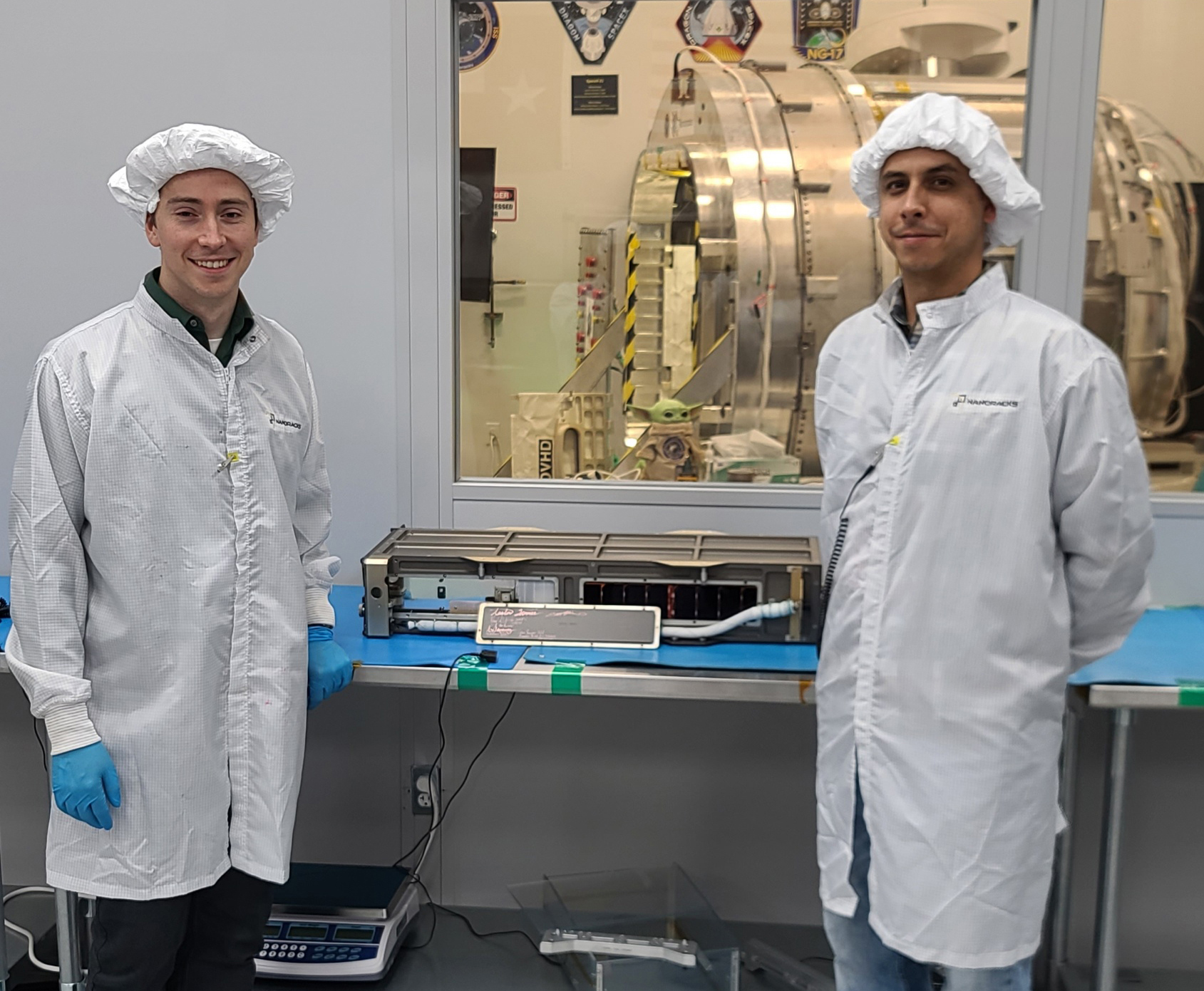
Two Small NASA Satellites Will Measure Soil Moisture, Volcanic Gases  NASA engineers Austin Tanner (left) and Manuel Vega stand beside SNoOPI, short for Signals of Opportunity P-Band Investigation, at the NanoRacks clean room facility in Houston. NASA / Denny Henry Two NASA pathfinding missions were recently deployed into low-Earth orbit, where they are demonstrating novel technologies for observing atmospheric gases, measuring freshwater, and even detecting signs of potential volcanic eruptions.
The Signals of Opportunity P-Band Investigation (SNoOPI), a low-noise radio receiver, tests a new technique for measuring root-zone soil moisture by harnessing radio signals produced by commercial satellites — a big job for a 6U CubeSat the size of a shoebox.
Separately, the Hyperspectral Thermal Imager (HyTI) is measuring trace gases linked to volcanic eruptions. HyTI, also a 6U CubeSat, could pave the way for future missions dedicated to detecting volcanic eruptions weeks or months in advance.
Both instruments were launched on March 21 from NASA’S Cape Canaveral Space Force Station to the International Space Station aboard SpaceX’s Dragon cargo spacecraft as part of the company’s 30th commercial resupply mission. On April 21, the instruments were released into orbit from the station.
“Flying Ace” for Finding Freshwater in Soil and Snow As a measurement technique, “signals of opportunity try to reutilize what already exists,” said James Garrison, professor of aeronautics and astronautics at Purdue University and principal investigator for SNoOPI.
Garrison and his team will try to collect the P-band radio signals produced by many commercial telecommunications satellites and repurpose them for science applications. The instrument maximizes the value of space-based assets already in orbit, transforming existing radio signals into research tools.
SNOOPI will prototype a new technique for measuring soil moisture. “By looking at what happens when satellite signals reflect off the surface of the Earth and comparing that to the signal that has not reflected, we can extract important properties about the surface where the signal reflects,” said Garrison.
P-band radio signals are powerful, penetrating Earth’s surface to a depth of about one foot (30 cm). This makes them ideal for studying root-zone soil moisture and snow water equivalent.
“By monitoring the amount of water in the soil, we get a good understanding of crop growth. We can also more intelligently monitor irrigation,” said Garrison. “Similarly, snow is very important because that’s also a place where water is stored. It has been hard to measure accurately on a global scale with remote sensing.”
High-time for HyTI and High-Resolution Thermal Imaging “I study volcanoes from space to try and work out when they’re going to start and stop erupting,” said Robert Wright, director of the Hawaii Institute of Geophysics and Planetology at the University of Hawaiʻi at Mānoa and the principal investigator for HyTI.
HyTI, short for Hyperspectral Thermal Imager, is testing a novel instrument for measuring thermal radiation. Hyperspectral imagers like HyTI measure a broad spectrum of thermal radiation signatures, and they’re particularly useful for characterizing gases in low concentrations. Wright and his team hope HyTI will help them quantify concentrations of sulfur dioxide in the atmosphere around volcanoes.
Weeks or even months before they erupt, volcanoes often emit increased amounts of sulfur dioxide and other trace gases. Measuring those gases could indicate an impending eruption HyTI’s sensitivity to thermal radiation will also be useful for observing water vapor and convection.
“There are two science objectives for HyTI. We want to try and improve how we can predict when a volcano will erupt and when a volcanic eruption is going to end,” said Wright. “And we’re also going to be measuring soil moisture content as it pertains to drought.”
Setting the Stage for Future Science Missions Through its Earth Science Technology Office (ESTO), NASA worked closely with both Garrison and Wright to help transform their research into fully-functioning, space-ready prototypes.
“The ESTO program allows for scientists to have interesting ideas and actually turn them into reality,” said Wright. Garrison agreed. “ESTO’s been a great partner.”
For more information about collaborating with NASA to create new technologies for Earth observation, visit ESTO’s homepage here.
Related Link: SNoOPI: A Flying Ace for Soil Moisture and Snow Measurements
By Gage Taylor
NASA’s Goddard Space Flight Center, Greenbelt, Md.
About the Author Gage Taylor
Details Last Updated May 01, 2024 Location Jet Propulsion Laboratory Related Terms Earth Earth System Observatory (ESO) Earth’s Atmosphere Goddard Space Flight Center
Keep Exploring Discover More Topics From NASA Earth
Your home. Our Mission. And the one planet that NASA studies more than any other.

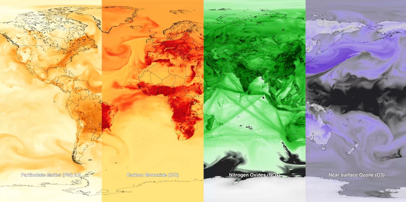
Air pollution is a significant threat to human health and our environment. Instruments on NASA satellites, along with airborne and…
NASA is a global leader in studying Earth’s changing climate.


 2 min read NASA’s Hubble Pauses Science Due to Gyro Issue
 3 min read NASA/JAXA’s XRISM Mission Captures Unmatched Data With Just 36 Pixels
 1 min read Hubble Spots a Magnificent Barred Galaxy
