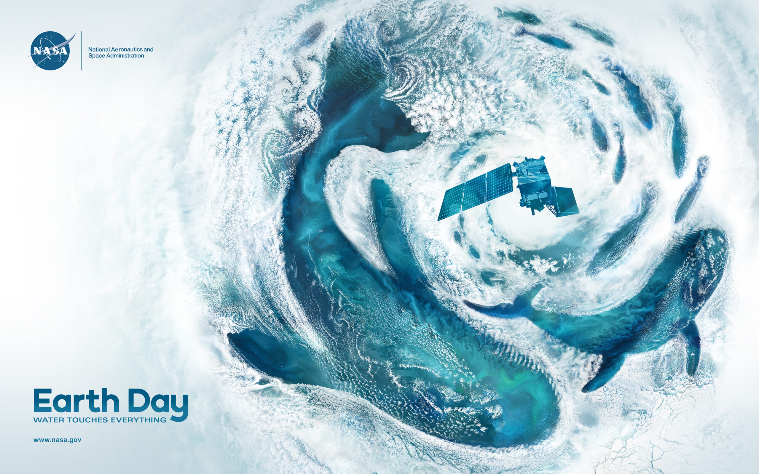
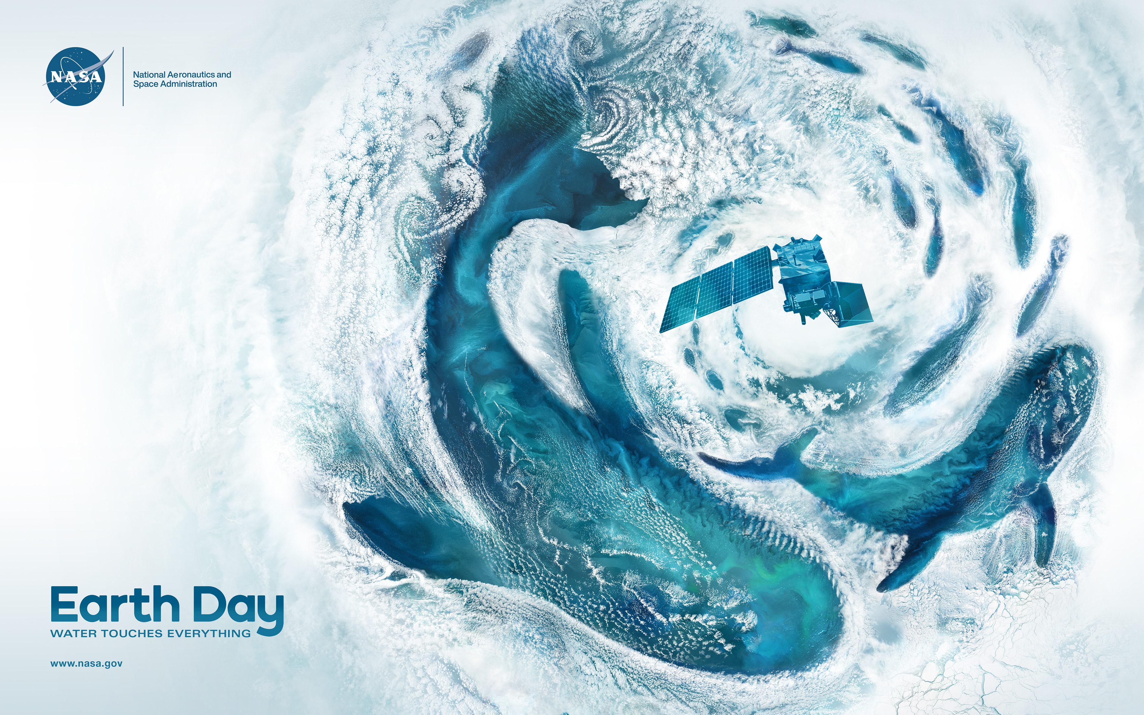
On Earth Day, Learn How NASA Investigates the Blue in Our Blue Planet This Earth Day, join us in person and online to learn how NASA studies the ocean from space. Explore the complex connections between sea, air, land, and climate through a mix of in-person and virtual activities, talks, and trivia.
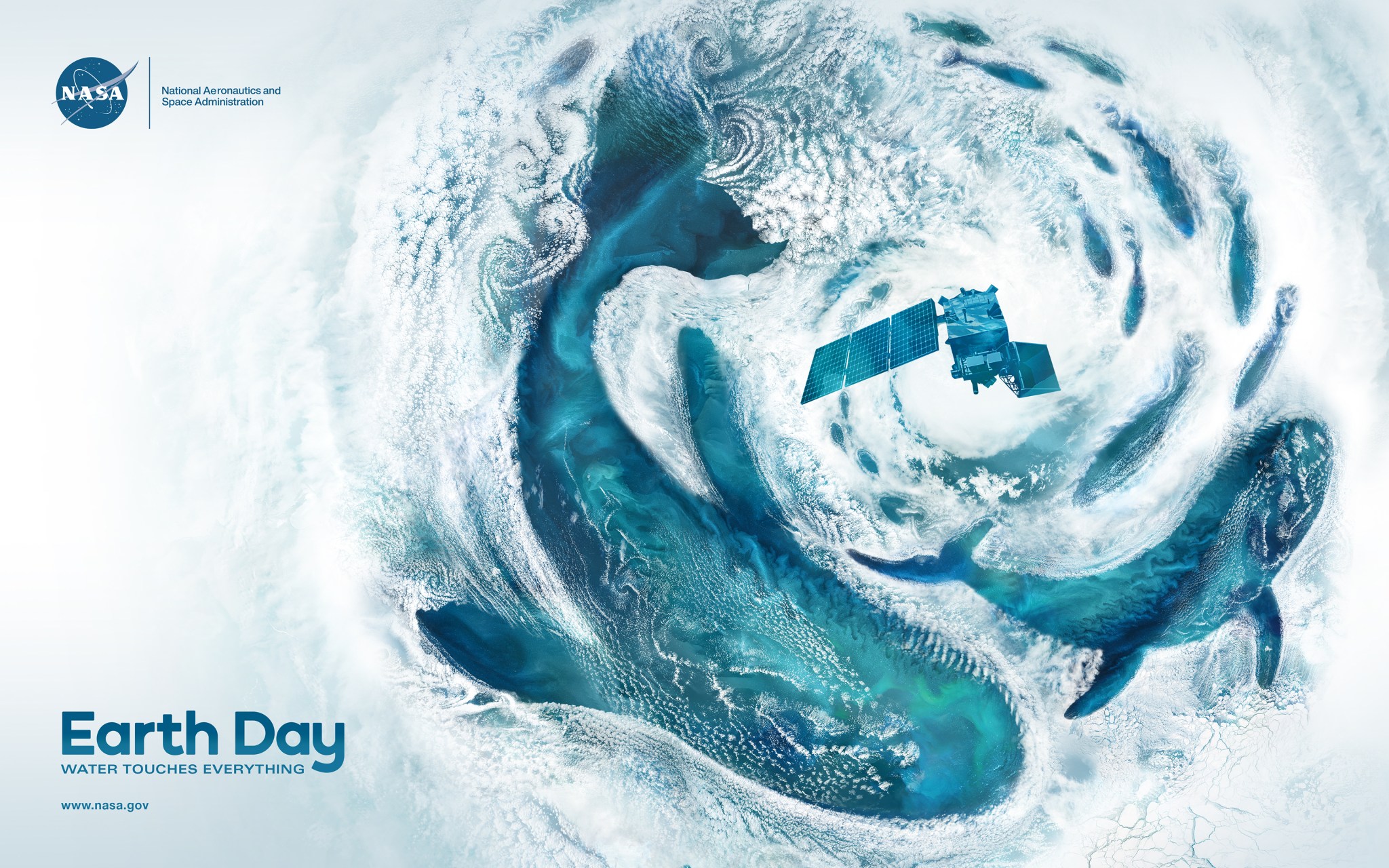 Discover more about NASA’s Earth and ocean-observing fleet during an in-person and virtual Earth Day celebration on April 18 and 19.NASA For nearly five decades, the agency and its partners have collected data across all of the world’s ocean basins with satellites, airplane-mounted instruments, and space shuttles and stations.
On April 11, NASA released the first images from the Plankton, Aerosol, Cloud, ocean Ecosystem (PACE) satellite, which was launched on Feb. 8, 2024, from Cape Canaveral Space Force Station in Florida. PACE joined the Surface Water and Ocean Topography (SWOT) satellite and Sentinel-6 Michael Freilich in helping NASA revolutionize our understanding of our oceans. You can see one of the images below, in which bright pink and green colors indicate different communities of phytoplankton.
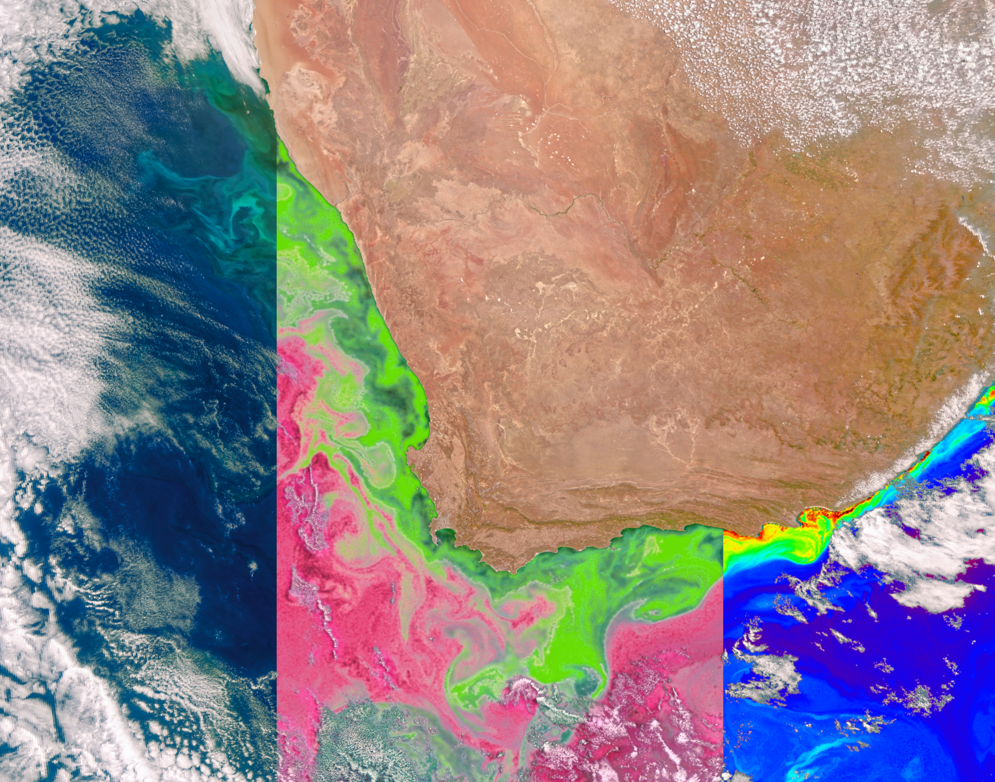 NASA’s PACE satellite’s Ocean Color Instrument (OCI) detects light across a hyperspectral range, which gives scientists new information to differentiate communities of phytoplankton – a unique ability of NASA’s newest Earth-observing satellite. This first image released from OCI identifies two different communities of these microscopic marine organisms in the ocean off the coast of South Africa on Feb. 28, 2024. The central panel of this image shows Synechococcus in pink and picoeukaryotes in green. The left panel of this image shows a natural color view of the ocean, and the right panel displays the concentration of chlorophyll-a, a photosynthetic pigment used to identify the presence of phytoplankton.NASA Discover more about PACE and NASA’s Earth-observing fleet during an in-person celebration. The event will be hosted at NASA Headquarters in Washington, D.C., on April 18 and 19, from 9 a.m. to 3 p.m. EDT. The event will include:
More than a dozen hands-on Earth science activities, such as a 3D glacier puzzle and natural hazards trivia Instructions for creating animated GIFs using NASA Earth science imagery Opportunities to engage with the Earth Information Center, which offers data-rich visualizations and immersive experiences that show how our planet is changing. Two new stories that will screen on the Earth Information Center’s Hyperwall. One highlights how local African communities use NASA Earth science data in partnership with the Jane Goodall Institute to monitor forest habitat for chimpanzees and agricultural land use over time. The other explores how the U.S. Environmental Protection Agency monitors methane emissions from landfills with NASA remote-sensing data. Online, explore how NASA works to understand our oceans at a global scale. Visit science.nasa.gov/earth/earth-day/ for dozens of resources, including:
Downloadable guides for creating ocean currents in a test tube and a flip book showing how rivers change over time Activities that show the importance of water on our planet and how researchers study our oceans and waterways
NASA’s exploration of our oceans from space spans a rich history. Delving into the depths of our oceans unveils the mysteries of our own planet, our home. Therefore, NASA remains steadfast in leading the way in oceanic research.
Credit: NASA’s Goddard Space Flight Center/Scientific Visualization Studio
Download this video in HD formats from NASA Goddard’s Scientific Visualization Studio
NASA’s in-person and virtual Earth Day events are free and open to the public.
You can also celebrate Earth Day as a NASA citizen scientist. Play the NeMO-Net iPad game to help NASA classify coral reefs, or download the GLOBE Observer app to help monitor clouds, water, and plants in your area. NASA’s citizen science projects have led to thousands of observations and several discoveries, with more than 410 NASA citizen scientists named as co-authors on peer-reviewed scientific publications. NASA citizen science is open to everyone around the world, not just U.S. residents.
NASA’s innovative tools and data inform decision-makers around the world as they monitor our changing climate and work to address environmental challenges. NASA partners with state and local governments, international space agencies, and federal agencies including the National Oceanic and Atmospheric Administration (NOAA) and U.S. Geological Survey (USGS). NASA is committed to making data accessible, inclusive, and transparent for everyone — an approach known as “open science.”
To learn more about NASA’s Earth Day activities, visit: https://science.nasa.gov/earth/earth-day/.
By Julia Tilton
NASA’s Goddard Space Flight Center, Greenbelt, Md.
