4 min read
Preparations for Next Moonwalk Simulations Underway (and Underwater) It’s not just rising air and water temperatures influencing the decades-long decline of Arctic sea ice. Clouds, aerosols, even the bumps and dips on the ice itself can play a role. To explore how these factors interact and impact sea ice melting, NASA is flying two aircraft equipped with scientific instruments over the Arctic Ocean north of Greenland this summer. The first flights of the field campaign, called ARCSIX (Arctic Radiation Cloud Aerosol Surface Interaction Experiment), successfully began taking measurements on May 28.
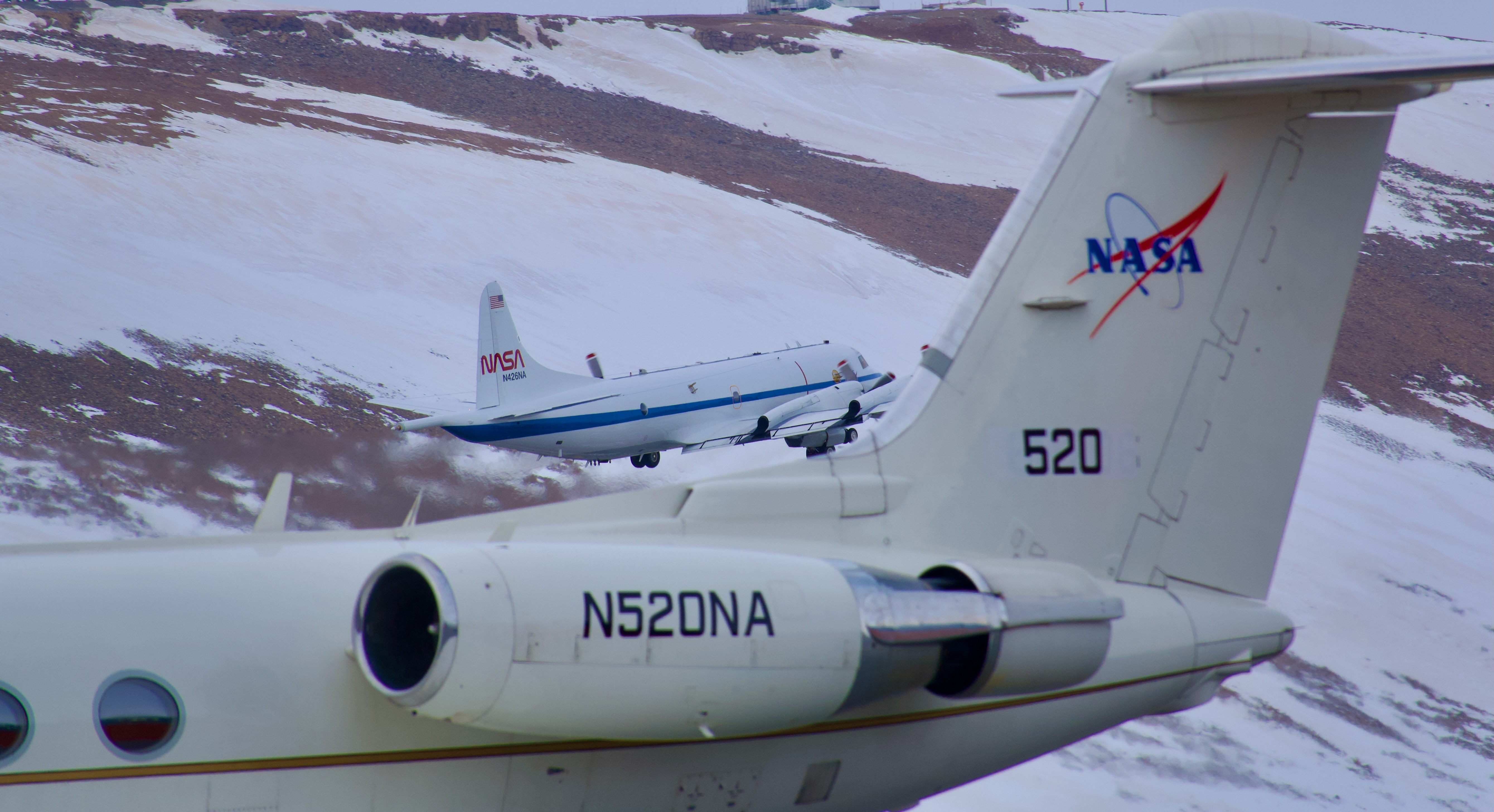
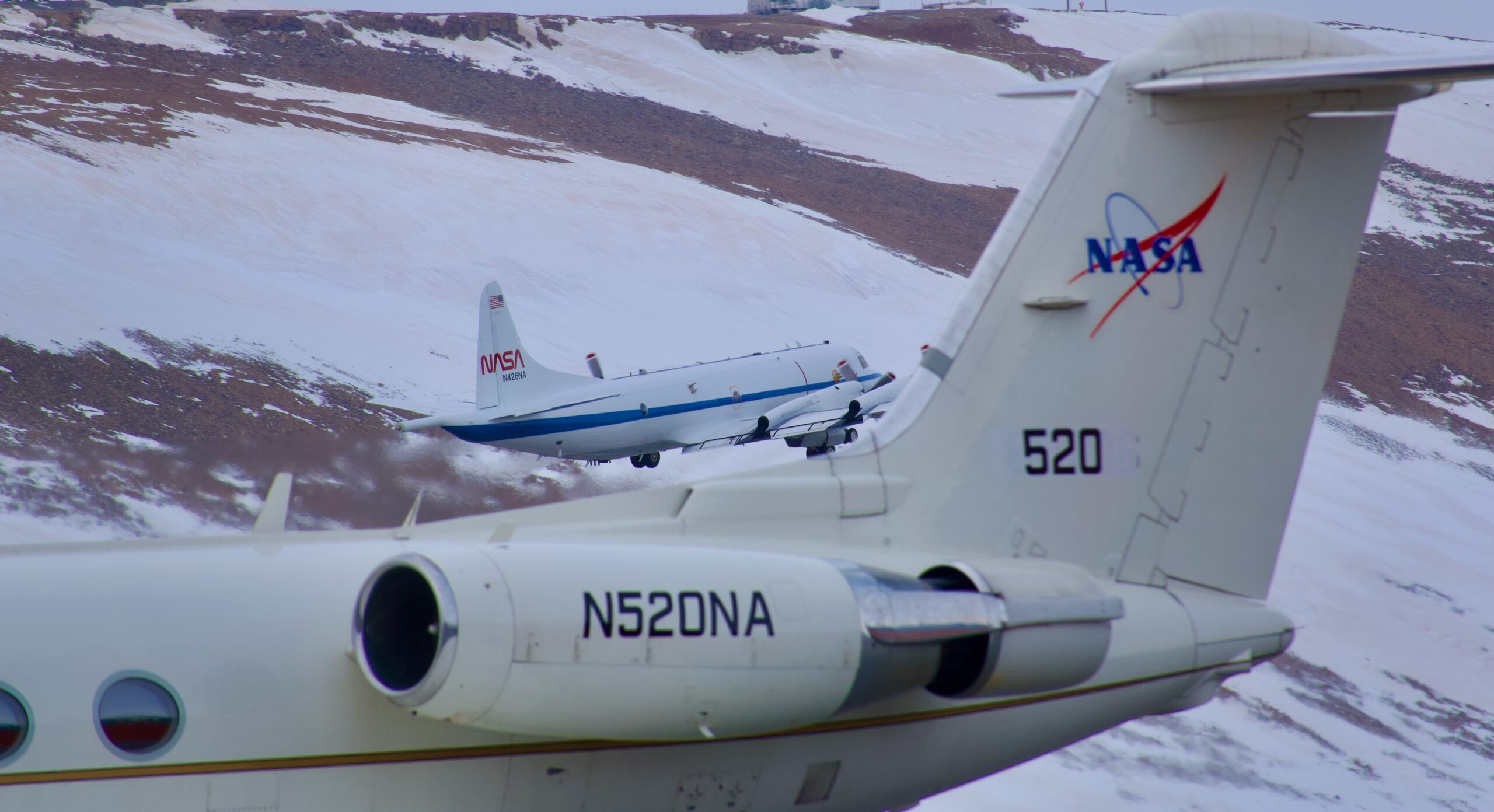
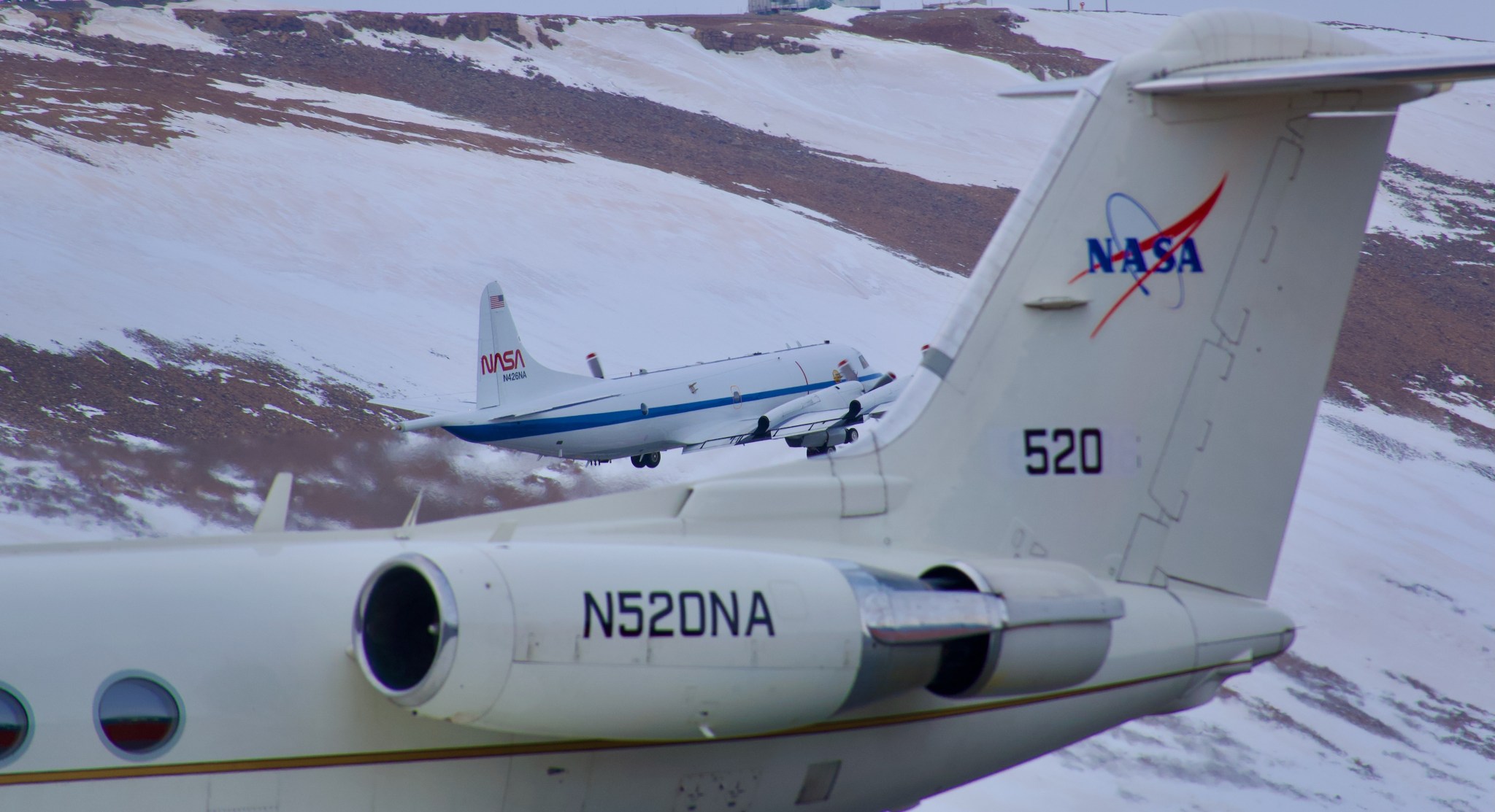 Two NASA aircraft are taking coordinated measurements of clouds, aerosols and sea ice in the Arctic this summer as part of the ARCSIX field campaign. In this image from Thursday, May 30, NASA’s P-3 aircraft takes off from Pituffik Space Base in northwest Greenland behind the agency’s Gulfstream III aircraft.Credit: NASA/Dan Chirica “The ARCSIX mission aims to measure the evolution of the sea ice pack over the course of an entire summer,” said Patrick Taylor, deputy science lead with the campaign from NASA’s Langley Research Center in Hampton, Virginia. “There are many different factors that influence the sea ice. We’re measuring them to determine which were most important to melting ice this summer.”
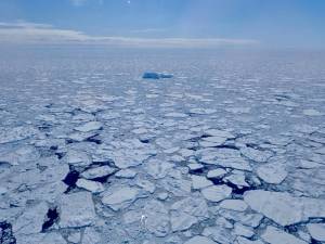
On a completely clear day over smooth sea ice, most sunlight would reflect back into the atmosphere, which is one way that sea ice cools the planet. But when the ice has ridges or darker melt ponds — or is dotted with pollutants — it can change the equation, increasing the amount of ice melt. In the atmosphere, cloudy conditions and drifting aerosols also impact the rate of melt.
“An important goal of ARCSIX is to better understand the surface radiation budget — the energy interacting with the ice and the atmosphere,” said Rachel Tilling, a campaign scientist from NASA’s Goddard Space Flight Center in Greenbelt, Maryland.
About 75 scientists, instrument operators, and flight crew are participating in ARCSIX’s two segments based out of Pituffik Space Base in northwest Greenland. The first three-week deployment, in May and June of this year, is timed to document the start of the ice melt season. The second deployment will occur in July and August to monitor late summer conditions and the start of the freeze-up period.
“Scientists from three key disciplines came together for ARCSIX: sea ice surface researchers, aerosol researchers, and cloud researchers,” Tilling said. “Each of us has been working to understand the radiation budget in our specific area, but we’ve brought all three areas together for this campaign.”
Two aircraft will fly over the Arctic during each deployment. NASA’s P-3 Orion aircraft from the agency’s Wallops Flight Facility in Virginia, will fly below the clouds at times to document the surface properties of the ice and the amount of energy radiating off it. The team will also fly the aircraft through the clouds to sample aerosol particles, cloud optical properties, chemistry, and other atmospheric components.
A Gulfstream III aircraft, managed by NASA Langley, will fly higher in the atmosphere to observe properties of the tops of the clouds, take profiles of the atmosphere above the ice, and add a perspective similar to that of orbiting satellites.
The teams will also compare airborne data with satellite data. Satellite instruments like the Multi-angle Imaging Spectroradiometer and the Moderate Resolution Imaging Spectroradiometer will provide additional information about clouds and aerosol particles, while the Ice, Cloud, and land Elevation Satellite 2 will provide insights into the ice topography below both satellites and aircraft.
The aircraft will fly coordinated routes to take measurements of the atmosphere above ice in three-dimensional space, said Sebastian Schmidt, the mission’s science lead with the University of Colorado Boulder.
“The area off the northern coast of Greenland can be considered the last bastion of multi-year sea ice, as the Arctic transitions to a seasonally ice-free ocean,” Schmidt said. “By observing here, we will gain insight into cloud-aerosol-sea ice-interaction processes of the ‘old’ and ‘new’ Arctic — all while improving satellite-based remote sensing by comparing what we’re seeing with the airborne and satellite instruments.”
NASA’s Goddard Space Flight Center, Greenbelt, Md.

 5 min read Antarctic Sea Ice Near Historic Lows; Arctic Ice Continues Decline Article 2 months ago
  5 min read Arctic Sea Ice 6th Lowest on Record; Antarctic Sees Record Low Growth Arctic sea ice likely reached its annual minimum extent on September 19, 2023, making it…
 4 min read NASA Ice Scientists Take Flight from Greenland to Study Melting Arctic Ice Article 2 years ago