
9 min read
Preparations for Next Moonwalk Simulations Underway (and Underwater) 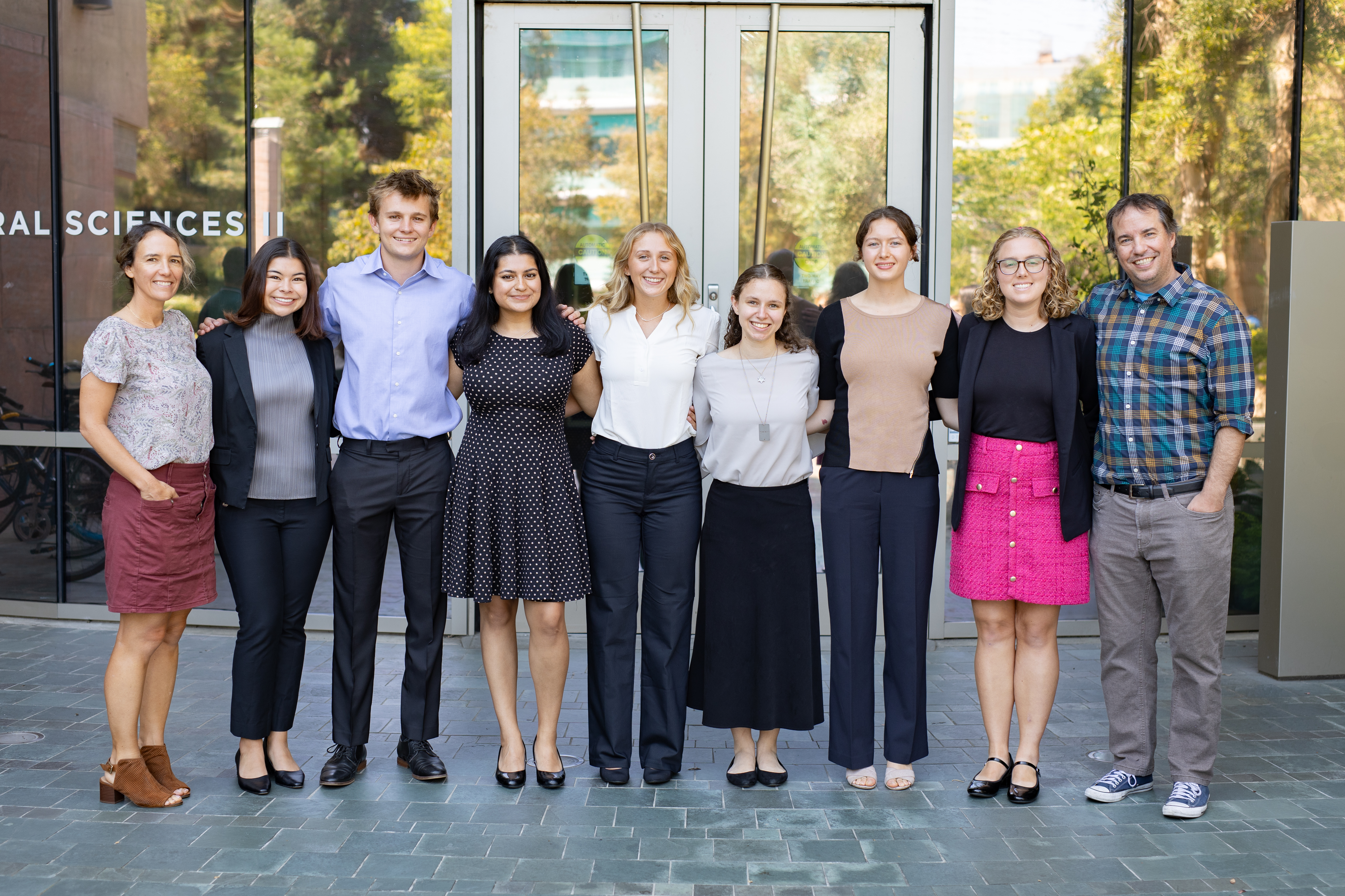 The Atmospheric Aerosols group, from the 2024 Student Airborne Research Program (SARP) West Coast cohort, poses in front of the natural sciences building at UC Irvine, during their final presentations on August 12, 2024. NASA Ames/Milan Loiacono Faculty Advisors: Dr. Andreas Beyersdorf, California State University, San Bernardino & Dr. Ann Marie Carlton, University of California
Graduate Mentor: Madison Landi, University of California, Irvine
Madison Landi, Graduate Mentor Madison Landi, graduate student mentor for the 2024 SARP Aerosols group, provides an introduction for each of the group members and shares behind-the scenes moments from the internship.
Maya Niyogi A Comparative Analysis of Tropospheric NO2: Evaluating TEMPO Satellite Data Against Airborne Measurements Maya Niyogi, Johns Hopkins University
Nitrogen dioxide (NO2) plays a major role in atmospheric chemical reactions; the inorganic compound both contributes to tropospheric ozone production and reacts with volatile organic compounds to create health-hazardous particulate matter. The presence of NO2 in the atmosphere is largely due to anthropogenic activity, making NO2 at the forefront of policy decisions and scientific monitoring. The Tropospheric Emissions: Monitoring of Pollution (TEMPO) satellite launched in 2023 with the goal of monitoring pollution across North America. The publicly-accessible data became available for use in May 2024, however parts of the data remain unvalidated and in beta, creating a need for an in situ validation of its data products. Here we analyze TEMPO’s tropospheric NO2 measurements and compare them to aloft NO2 measurements collected during the NASA Student Airborne Research Project (SARP) 2024 airborne campaign. Six of the campaign flights recording NO2 performed a vertical spiral, providing vertical column data that was adjusted to ambient conditions for comparison against the corresponding TEMPO values. Statistical analyses indicate we have reasonable evidence to conclude that TEMPO satellite data and the flight-collected data record similar values. This research fills a critical knowledge gap through the utilization of aloft NO2 measurements to validate NASA’s newly-launched TEMPO satellite. It is expected that future users of TEMPO data can apply these results to better inform project creation and research.
Benjamin Wells Investigating the Atmospheric Burden of Black Carbon Over the Past Decade in the Los Angeles Basin Benjamin Wells, San Diego State University
Black Carbon is a primary aerosol emitted directly into the atmosphere as a result of biomass burning and incomplete combustion of fossil fuels. During the pre-industrial revolution, the main source of black carbon was natural sources whereas currently, the main source is anthropogenic activities. When black carbon is released into the atmosphere, it is a dominant absorber of solar radiation and leads to a significant warming effect on Earth’s climate. In addition to its harmful effects associated with climate change, ambient black carbon inhalation is correlated with adverse health effects such as respiratory and cardiovascular disease, cancer, and premature mortality. In this study, we analyze aloft black carbon measurements in 2016 and 2024 acquired on NASA SARP research flights and compare these concentrations to black carbon measurements taken during the 2010 CalNex field campaign. Both field campaigns flew similar flight paths over the Los Angeles basin allowing us to conduct a critical comparative analysis on vertical and spatial profiles of the atmospheric burden of black carbon over the past 14 years. During the CalNEX study, mass concentrations of black carbon ranged from 0.02 μg/m3 to 0.531 μg/m3, meanwhile 2024 SARP measurements demonstrate concentrations as elevated as 7.83 μg/m3 within the same region. Moreover, similar flight paths conducted during SARP 2024 and 2016 allow for further analysis of aloft black carbon concentrations over a period of time. The results of this study examines and analyzes the changing spatial and temporal characteristics of black carbon throughout the years, leading to an increase of adverse effects on both the climate and public health.
Devin Keith Tracking Methane and Aerosols in relation to Health Effects in the San Joaquin Valley Devin Keith, Mount Holyoke College
The San Joaquin Valley (SJV) is located in central California and is one of the most productive agricultural regions in the country for dairy, nuts, and berries, producing more than half of California’s $42 billion output. Due to the SJV’s close proximity to the Sierra Nevada Mountain Range to the East and predominantly Easterly winds, air pollution often accumulates because it is trapped by the geography. Significant chemical constituents of trapped particulate matter are ammonium (NH4), chloride (Cl), sulfate (SO4), nitrate (NO3), black carbon, and organic carbon. The particle size measured in this study is less than 1 micron in diameter, and due to their size, can easily penetrate the respiratory tract leading to adverse health effects such as: asthma, chronic obstructive pulmonary disease, and cardiovascular disease. We employ airborne data collected during the SARP 2024 mission onboard NASA’s P-3 research plane to observe spatial and temporal trends of NH4, Cl, SO4, NO3, and black carbon. Further, we analyze measurements from SARP 2016 flights and compare the atmospheric burden of pollution in the SJV across time. To investigate observations in the context of the public health impacts, we utilize data collected by the California Office of Environmental Health Hazards Assessment and find asthma and cardiovascular disease rates are higher in the SJV hotspots identified here. Per capita health impacts are greater than other California regions such as Los Angeles and San Francisco. The SJV exhibits higher rates of poverty than other communities, which may reveal an environmental justice issue that is difficult to explicitly quantify especially where measurements are sparse.
Lily Lyons Investigating the Effects of Aerosols on Photosynthesis Using Satellite Imaging Lily Lyons, Brandeis University
Aerosols in the atmosphere can affect the way sunlight travels to the ground by absorbing or scattering light. Sunlight is a critical component in plant photosynthesis, and the way light scatters affects productivity for vegetation and plant growth. When plants absorb sunlight, the chlorophyll in their leaves releases the excess energy as infrared light, which can be measured from space via satellite. To better understand how aerosol loading in the atmosphere affects plant photosynthesis, this study examines locations in Yosemite, Sequoia, Garrett, and Talladega national forests, and compares aerosol optical depth (AOD), normalized difference vegetation index (NDVI), and solar induced fluorescence (SIF) in these areas. Yosemite and Sequoia act as proxies for the old growth sequoia grove ecosystems, and Talladega and Garrett act as proxies for the Appalachian mixed mesophytic forest ecosystem. Our results show that within 2015-2020 during July, SIF and NDVI levels are significantly greater in mixed mesophytic forests than in sequoia groves. Using linear regression plots, we determined the correlation between SIF, NDVI and AOD to be weak in the given locations. Greater SIF in mixed mesophytic forests could suggest that the presence of a prominent and biodiverse understory is positive for the overall primary productivity of an ecosystem. This study is a good starting point for analyzing diverse ecosystems using SIF, NDVI and satellite data as proxies for photosynthesis, and broadening the scope of biomes examined for their SIF. Furthermore, it highlights the need for further investigation of aerosol impact on the trajectory and amount of sunlight that reaches certain plants.
Ryleigh Czajkowski Validating the Performance of CMAQ in Simulating the Vertical Distribution of Trace Gases Ryleigh Czajkowski, South Dakota School of Mines and Technology
Air quality modeling simulates atmospheric processes and air pollutant transport to better understand gas-and particle-phase interactions in the atmosphere. The Environmental Protection Agency’s (EPA) Community Multiscale Air Quality (CMAQ) model couples meteorological, emission, and chemical transport predictions to simulate air pollution from local to hemispheric scales. CMAQ provides scientists and regulatory agencies with important assistance in air quality management, policy enactment, atmospheric research, and creating public health advisories. Recently, a new update to CMAQ (v5.4) was released, utilizing new chemistry mechanisms and incorporating a new atmospheric chemistry model. This study evaluates the performance of the latest model update by analyzing multiple time series of vertical distributions of formaldehyde (CH2O) and methane (CH4) in the Los Angeles Basin and Central Valley regions of California. It compares data from aloft measurements taken during NASA SARP 2017 flights with model predictions to evaluate accuracy. Our study analyzes CMAQ’s capabilities in capturing the vertical dispersion of CH2O and CH4 in different regions, offering insights into the effectiveness of CMAQ for air quality management and the analysis of trace and greenhouse gas dynamics. Using NASA airborne data, this research utilizes a diversified data set to validate the model, providing a more comprehensive evaluation of its capabilities, and thus providing valuable insight into future developments of CMAQ.
Alison Thieberg Estimating Aerosol Optical Properties Using Mie Theory and Analyzing Their Impact on Radiative Forcing in California Alison Thieberg, Emory University
Anthropogenic aerosols, unlike greenhouse gasses, provide a net cooling effect to the Earth’s surface. Particles suspended in the atmosphere have the ability to scatter incoming solar radiation, preventing that radiation from heating up the surface. These aerosols like black carbon, ammonium nitrate, ammonium sulfate, and organics are byproducts of both natural and anthropogenic activities. Measuring radiative forcing as a result of these aerosols over time can provide insight on how anthropogenic industries are altering our Earth’s temperature. This study analyzes the changes in radiative forcing from aerosols in central and southern California using data collected from NASA SARP flights from 2016-2024. Aerosol size, composition, and single scattering albedo were used to estimate the aerosol characteristics and to calculate the aerosols’ radiative forcing efficiency. Our results show that aerosols are found to have less of a cooling effect over time when looking at the change in radiative forcing in California from 2016 to 2024. When narrowing in on specific geographic regions, we observe the same trends in the Central Valley with the area becoming warmer as a result of aerosols. However, more southern regions like Los Angeles and the Inland Empire have become cooler from aerosols during this time period. The overall decrease in the cooling effect of California’s aerosols could indicate that the average size of particulates is changing or that the aerosol composition could be shifting to a greater concentration of absorbing aerosols rather than scattering aerosols. This study shows how aerosols influence radiative forcing and their subsequent impacts across regions in California from multiple years.
Click here watch the Terrestrial Ecology Group presentations.
Click here watch the Ocean Group presentations.
Click here watch the Whole Air Sampling (WAS) Group presentations.
Return to 2024 SARP West Closeout